Product Description
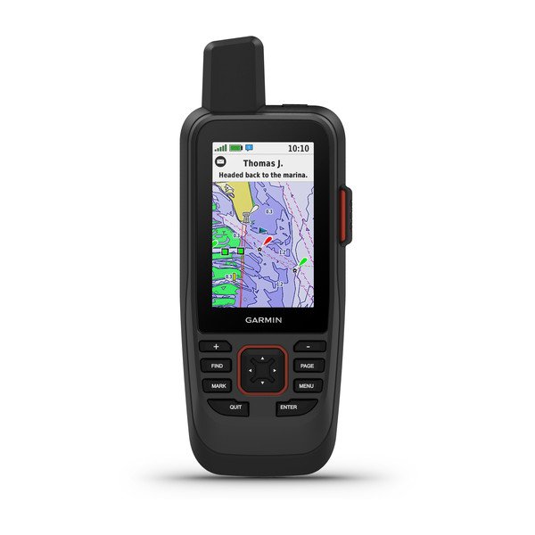
Water-resistant, floating design, sunlight-readable 3″ display, and button operation provide ease of use on the water
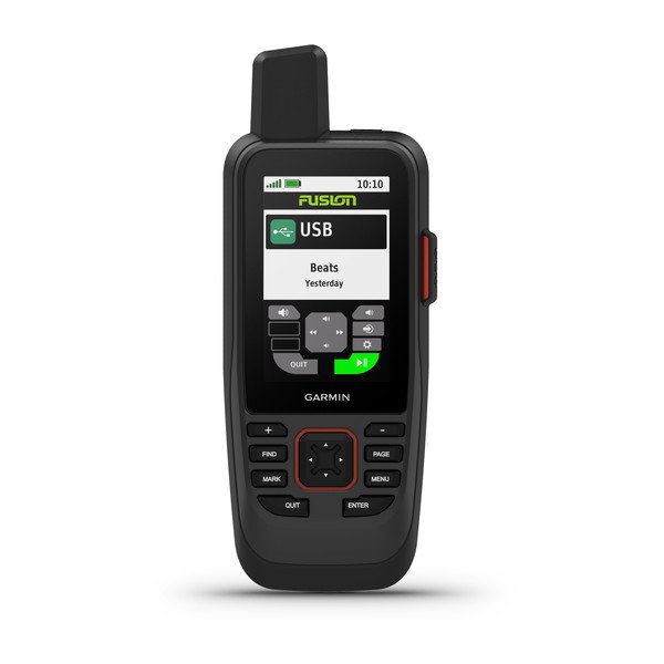
Stream boat data from compatible chart plotters and instruments to consolidate your marine system information
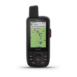
Preloaded BlueChart g3 coastal charts include the best of Garmin and Navionics data
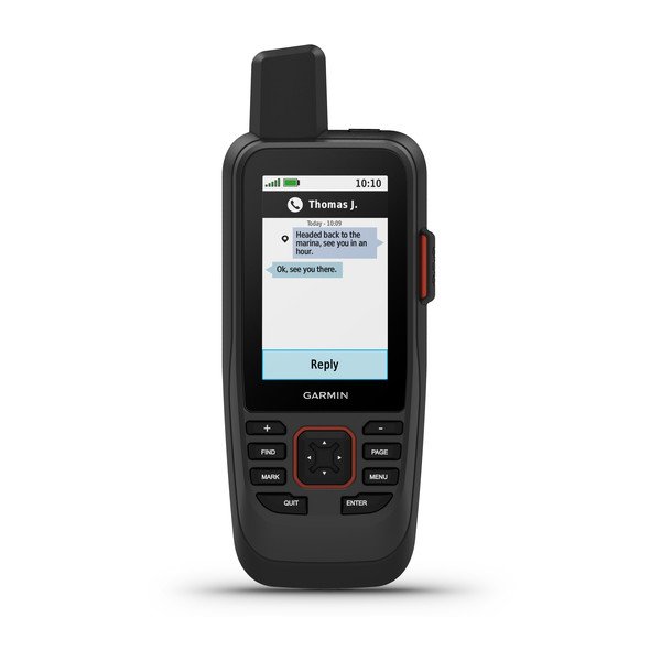
Stay in touch with inReach satellite communication and two-way text messaging via the 100% global Iridium satellite network (satellite subscription required)
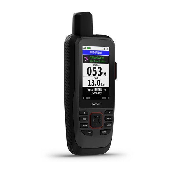
Functions as a remote control for convenient operation of your Garmin autopilot and select FUSION marine products
Adjustable GPS filter smooths speed and heading indications over swells
General
HIGH-SENSITIVITY RECEIVER
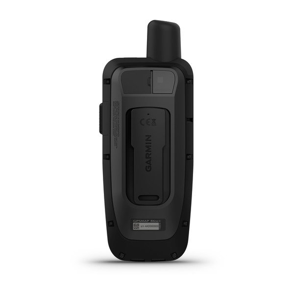
PHYSICAL DIMENSIONS WxHxD: 2.75″ x 7″ x 1.7″ (7 x 17.8 x 4.4 cm)
DISPLAY SIZE 1.5″W x 2.5″H (3.8 x 6.3 cm); 3″ diag (7.6 cm)
DISPLAY RESOLUTION 240 x 400 pixels
DISPLAY TYPE transflective, 65K color TFT
WEIGHT
9.59 oz (272 g)
BATTERY TYPE rechargeable internal lithium-ion
BATTERY LIFE Up to 35 hours in 10-minute tracking mode; up to 200 hours (expedition mode)
WATER RATING IPX7
MEMORY/HISTORY 16 GB
Maps & Memory
PRELOADED MAPS
yes
ABILITY TO ADD MAPS
BASEMAP
AUTOMATIC ROUTING (TURN BY TURN ROUTING ON ROADS) FOR OUTDOOR ACTIVITIES Yes (with optional mapping for detailed roads)
EXTERNAL MEMORY STORAGE microSD™ card (not included)
WAYPOINTS/FAVORITES/LOCATIONS 10000
TRACK LOG 20,000 points, 250 saved GPS tracks, 300 saved fit activities
ROUTES 250
Sensors
BAROMETRIC ALTIMETER
COMPASS Yes (tilt-compensated 3-axis)
Outdoor Recreation
AREA CALCULATION
HUNT/FISH CALENDAR
SUN AND MOON INFORMATION
GEOCACHING-FRIENDLY Yes (Paperless)
CUSTOM MAPS COMPATIBLE
PICTURE VIEWER
inReach® Features
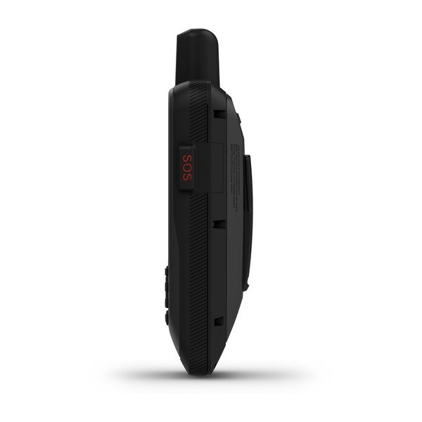
INTERACTIVE SOS
SEND AND RECEIVE TEXT MESSAGES TO SMS AND EMAIL
SEND AND RECEIVE TEXT MESSAGES TO OTHER INREACH DEVICE
EXCHANGE LOCATIONS WITH OTHER INREACH DEVICE
MAPSHARE COMPATIBLE WITH TRACKING
VIRTUAL KEYBOARD FOR CUSTOM MESSAGING
INREACH REMOTE COMPATIBLE
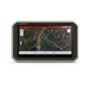
GPSMAP 86sci handheld with BlueChart g3 for the U.S.
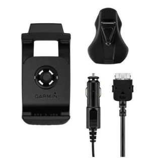
Powered mount
Lanyard
USB to Micro USB cable
USB to 2 pin cable
Mounting hardware
Documentation